Edinburgh Map
Scotland Map > Scotland Travel • Edinburgh Map
 Edinburgh, capital of Scotland and home to the Scottish Parliament, is
located on the Firth of Forth, a large, narrow estuary located on the
country's east coast. The landscape of the city is extremely
rugged, and much of it is perched on volcanic crags and rocky
ridges. Both the Old and New Town districts have been named to
UNESCO's World Heritage Site list.
 One side of the city is dominated by Edinburgh Castle, which hosts the
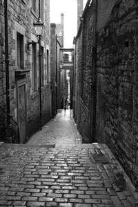
majority of the city's festivals. The Old Town trails down the ridge
from the castle. One of the most well known attractions in the Old
Town is the Royal Mile, which stretches all the way from the castle to
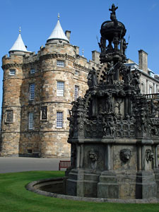
Holyrood Palace, once home to the kings and queens of Scotland and now
considered the British monarch's official Scottish residence. The
Royal Mile is full of market squares as well as many attractions,
including Saint Giles Cathedral, the Royal Museum of Scotland, and
McEwan Hall.
 The Old and New Town districts are divided by Princes Gardens, where you
can find a fairgrounds, market stalls, ice skating, and other recreational
pursuits. A response to overcrowding, the New Town district began
as a series of grids around George Street, Princes Street, and Queen
Street. However, throughout the years the planning became less
structured. Today, the New Town represents one of the world's finest
examples of Georgian architecture.
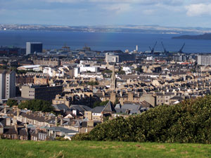
A stunning, panoramic view of the entire city can be found atop Arthur's Seat in Holyrood Park.
For more information about Edinburgh, visit this official Edinburgh Travel Guide web page.