
Scotland Map
Scotland Map > Scotland Travel • Edinburgh Map
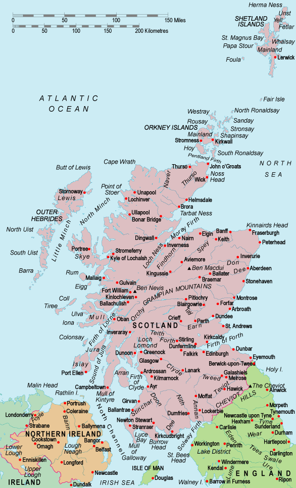
 The Northern Isles are made up of the Orkney and Shetland Islands.
While Orkney is a mere six miles from the northern part of Scotland's
mainland, it is separated from it by the Pentland Firth, one of the most
turbulent parts of water in the British Isles. In general, the
Northern Isles comprise the country's most remote islands.
The Northern Isles are made up of the Orkney and Shetland Islands.
While Orkney is a mere six miles from the northern part of Scotland's
mainland, it is separated from it by the Pentland Firth, one of the most
turbulent parts of water in the British Isles. In general, the
Northern Isles comprise the country's most remote islands.
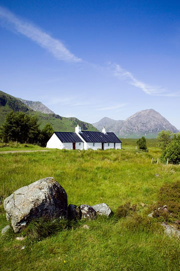
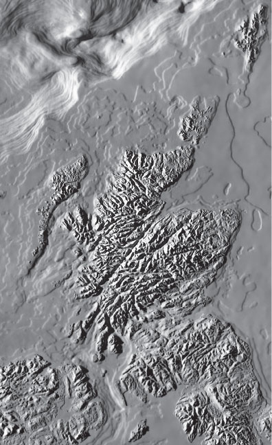
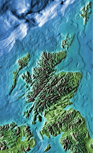
The Western Isles are known for their rugged, natural beauty, as well as for the incredible diversity between them. You can find rugged seacoast, mountainous areas, glens, and lochs, as well as hills and moors, on the Western Isles.
The Highlands include the lands and islands north of the Highland Boundary Fault. The great mountain ranges lie in the middle and west of the region, while the east coast is relatively flat. The Lowlands and Borders are a series of flat lands and coastal areas along Scotland's northern coast.
 Glasgow is Scotland's largest city, and holds more than 40 percent of the
country's inhabitants. Edinburgh is the country's second-largest
city, as well as its capital. Visitors to Scotland are drawn to its
beauty, mystery, and romance, which have been touted and kept alive by
writers, poets, artists, and balladeers. Especially popular among
visitors are the islands, which offer escape from the mainland and the
ability to enjoy beautiful natural scenery.
Glasgow is Scotland's largest city, and holds more than 40 percent of the
country's inhabitants. Edinburgh is the country's second-largest
city, as well as its capital. Visitors to Scotland are drawn to its
beauty, mystery, and romance, which have been touted and kept alive by
writers, poets, artists, and balladeers. Especially popular among
visitors are the islands, which offer escape from the mainland and the
ability to enjoy beautiful natural scenery.
For more information about Scotland's many attractions, visit the official Scottish Tourist Board website.
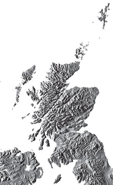
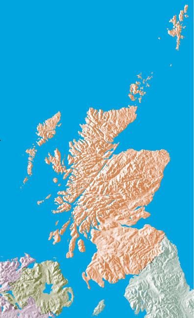
Relief Maps of Scotland
|
|
|
|
Maps of the United Kingdom and Ireland
- United Kingdom Map - UK maps and travel information.
- Ireland Map - Irish maps and travel information.
All rights reserved. About Us.
Certain maps hereon are © Map Resources or Digital Wisdom.